

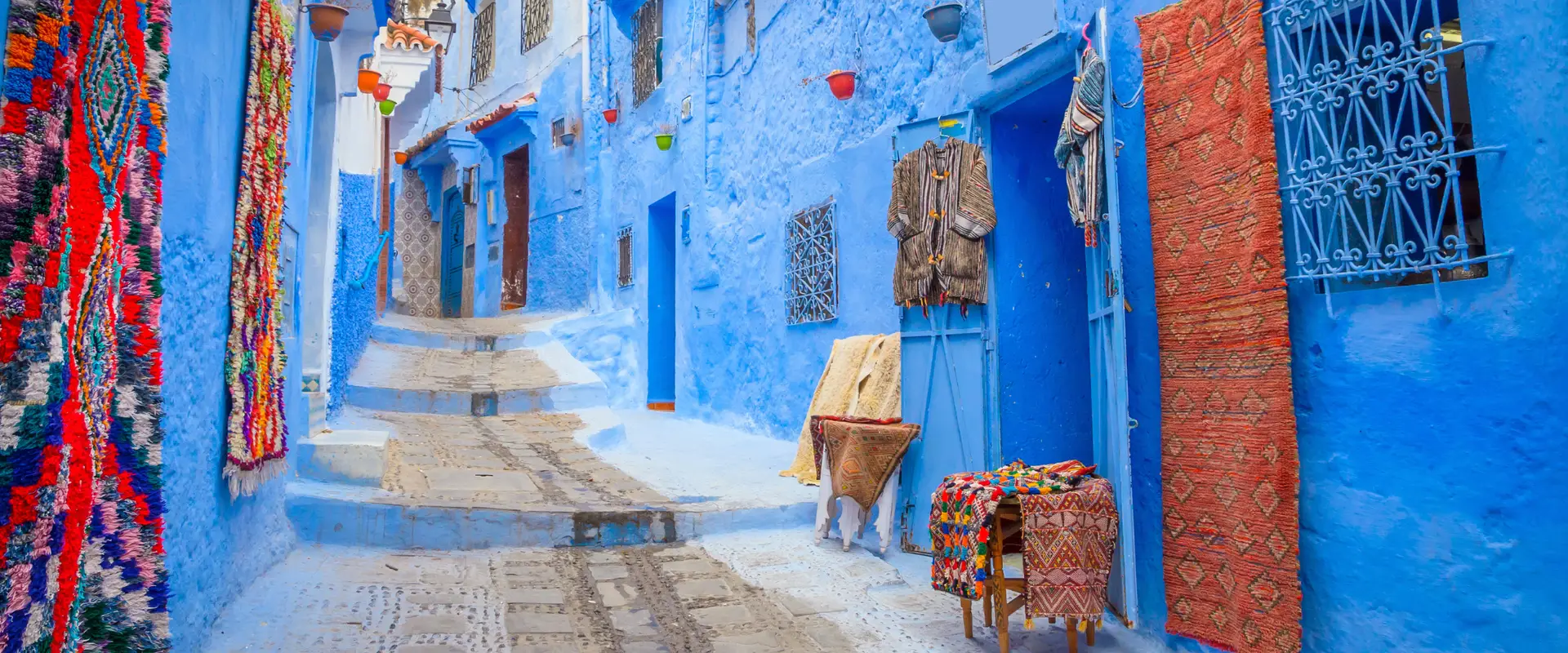
The Khalladi Wind Farm addresses energy and social challenges in Morocco’s northernmost region, home to historic coastal towns, the UNESCO medina of Tetouan, and the iconic Blue City of Chefchaouen. Historically reliant on imported fossil fuels, Morocco faces high emissions and energy insecurity. This project responds to these challenges by...
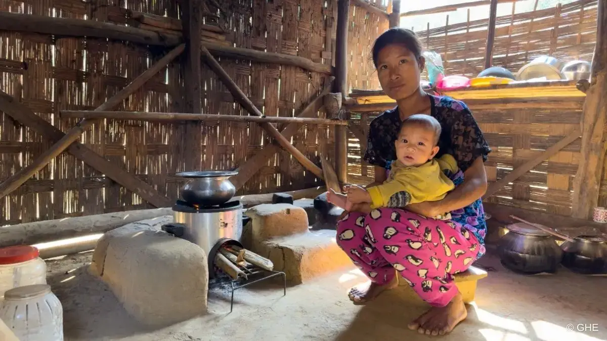
The Garo Hills region of India, with its dense forests, abundant wildlife, and cultural heritage, offers tourism potential for the Indigenous communities that reside there. However, the widespread use of inefficient wood-fired cookstoves releases hazardous emissions, causing serious health risks, driving forest loss, deepening gender disparities, and perpetuating high poverty...
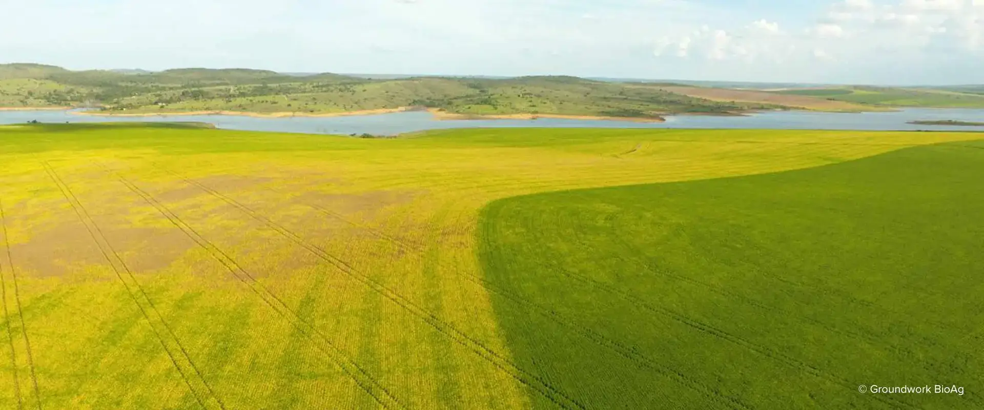
Rootella is a seed treatment and soil additive full of mycorrhizal fungi that create a symbiotic relationship with crops and increase plants’ natural ability to sequester carbon in the soil. When applied at planting, the fungus effectively extends the plant root in an underground web, significantly improving nutrient uptake and...
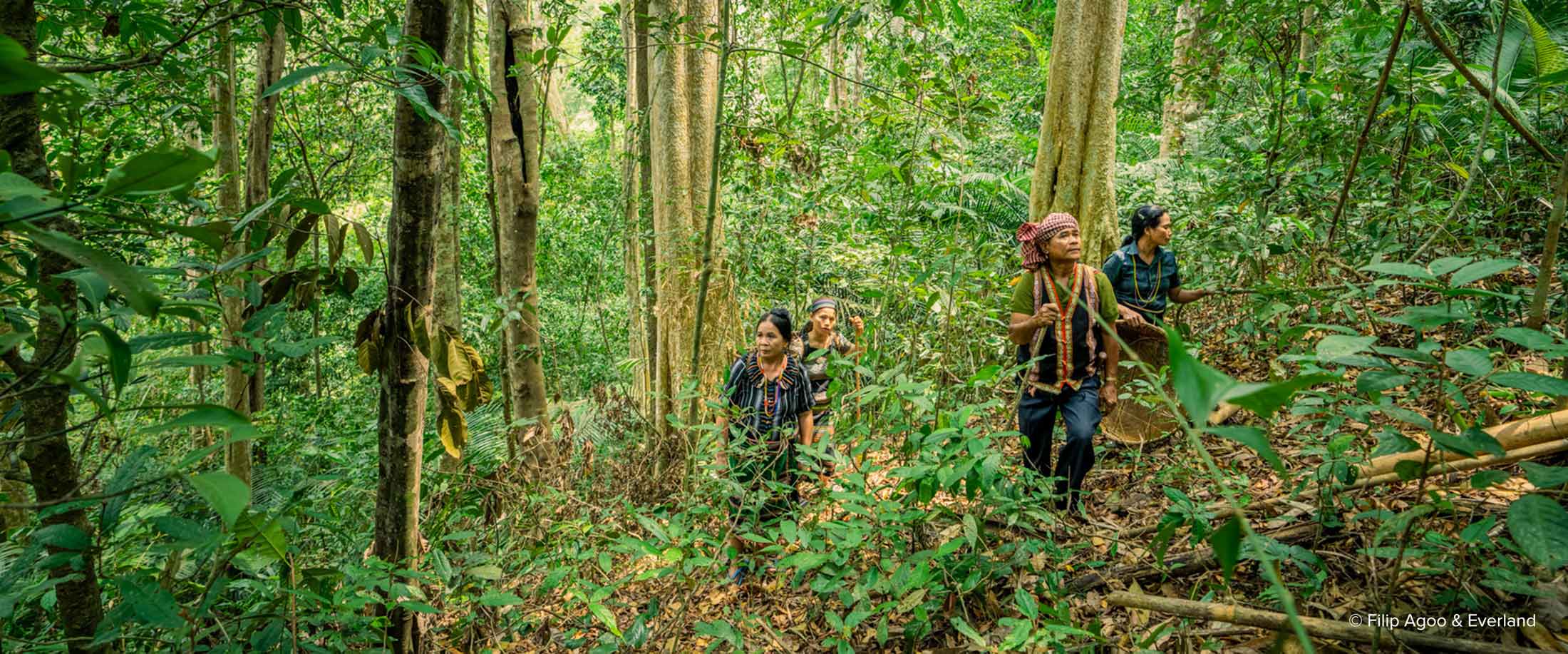
This project conserves a large section of tropical forest that holds significant cultural, spiritual, and economic value to the Indigenous Bunong people. The Keo Seima Wildlife Sanctuary protects this area from unsustainable farming and logging and addresses social issues that drive communities to extractive practices. Along with safeguarding tree species...

This project is conserving a biodiverse peat swamp forest in Indonesian Borneo that was slated for conversion to palm oil plantations. Along with protecting this carbon rich ecosystem, the project supports the reintroduction of critically endangered orangutans into their wild habitat. By addressing issues such as poverty, hunger, and disease,...
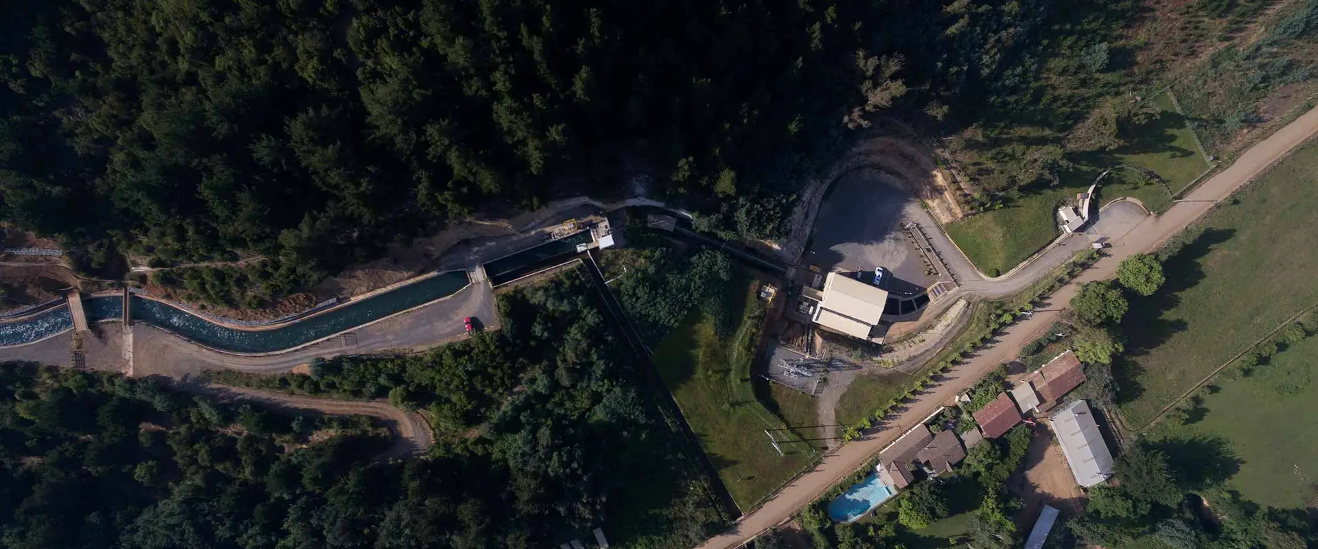
This project supports the construction and operation of a hydro plant that will generate renewable energy for the Chilean national grid. Along with avoiding emissions from fossil fuels, the project also promotes stewardship of the region’s water resources and ecosystems. The rural communities that live in the area benefit from...
 Optimized by Seraphinite Accelerator